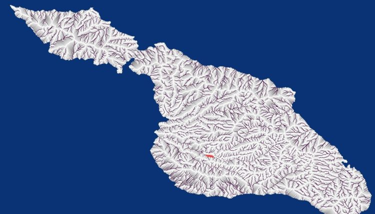
Modeling Water flow using DEM (Digital Elevation Models)
Water flow Analysis showing where micro Check dams can be located Grey areas show where water can be captured using micro-check dams so every major storm will refill the reservoir. Dark lines represent large water flow areas were larger professionally engineered dams are needed and are likely riparian zones. White areas are those where this … Continue reading Modeling Water flow using DEM (Digital Elevation Models)
0 Comments
